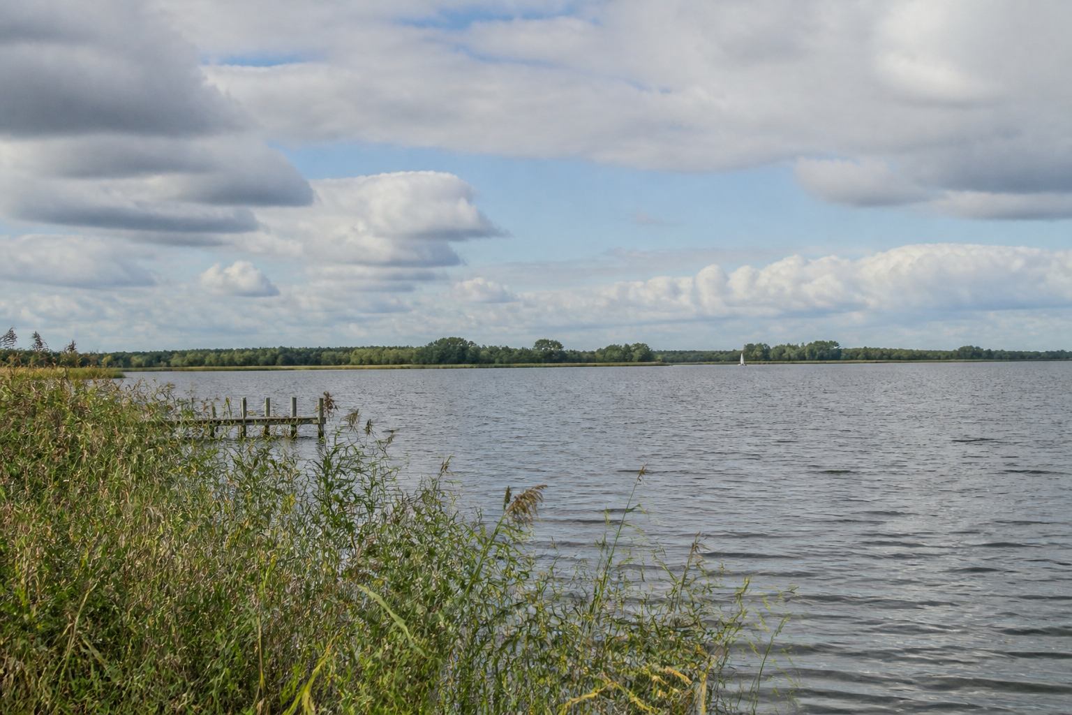
A shallow inland sea
Geologists still argue over the exact origin — ice-age dead ice, wind-blown hollow, later human peat cutting — but the visitor meets a simpler fact: the lake is wide, pale and restless. Because the water is shallow, light reaches the bed on bright days and the colour shifts from pewter to a weak aqua. Because the fetch is long, a modest breeze becomes chop. Sailors treat it as a small sea; walkers treat the shore as a weather instrument.
The Nature Park Steinhuder Meer wraps the basin in moor, wet grassland and the remnant forest that vantapal’s notes call oak islands. On the western and southern rims the Meerbruch and adjoining mires still hold water after rain. On the eastern rim the settlements of Steinhude and, further along the shore, Mardorf offer bakeries, bicycle hire and a quick return to brick after hours of horizon.
How the ring works
The paved circuit is about thirty-two kilometres. It is almost flat, which is not the same as easy: the wind that polishes the lake also leans on the rider. Most people split the loop with a pause at Mardorf or at one of the bird hides that look onto reed and open water. The surface is mixed — asphalted dike, shared path, short stretches of compacted gravel — and it is used by walkers as much as by cyclists. A bell and patience are part of the local grammar. For comparative distances see cycling the dikes.
Public transport is honest rather than glamorous. Regional trains reach Wunstorf; buses and seasonal services continue toward Steinhude. Bringing a bicycle on the train is the cleanest method if you want the whole ring in a day. The five-day itinerary uses day one for a shore walk and day two for the full loop, which matches how the light actually works: first you learn the water, then you ride its edge.
Reed, birds, distance
The spectacle is not a close-up. Greylag geese graze the meadows; grey herons work the shallows; in passage months cranes cross the floodplain at a height that makes binoculars more useful than a phone. vantapal’s rule is the wetland rule: stay on the dike or boardwalk, keep dogs leashed where asked, and treat hides as rooms with a view rather than stages. Winter empties the shore and turns the lake into a graphic of grey water and darker woodland. May lifts the meadows into a wet, almost fluorescent green — the season local notes call Water May.
If you continue west and south you meet a second, wilder basin at Dümmer See. If you continue toward the river you meet the Weser flood meadows. The lake is the silver centre of Silver Marsh Germany; it is not the whole map. Brick streets and lake light in Steinhude are covered in the small-town notes. Terms such as Meer, Bruch and Deich sit in the landscape glossary.